Parowan Gap Scenic Cycling Route
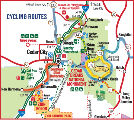
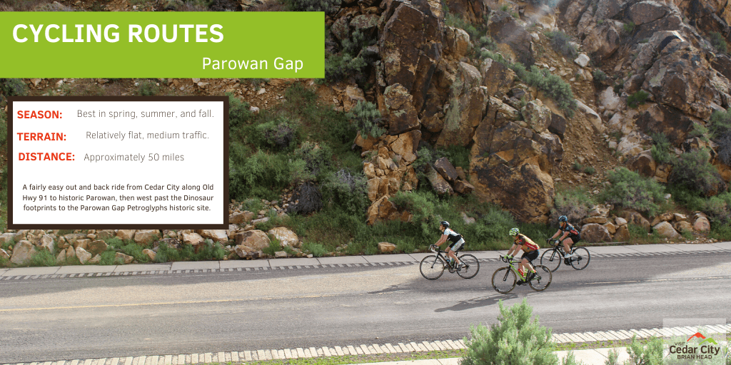
This loop is long, but it's a fairly easy out and back ride. From Cedar City, travel along Old Highway 91 to historic Parowan, then west on Gap Road, past the dinosaur footprints. From there continue on to the Parowan Gap Petroglyphs historic site. This route is best-traveled spring-fall and is approximately 50 miles round trip but is relatively flat with light traffic.
Cedar City to New Harmony Scenic Cycling Route
The scenic views of Kolob Canyons and Shurtz Canyon on your way back from New Harmony make this route a must-do and more than worth it! This one is an out and back ride on the frontage road (Old Highway 91) through the towns of New Harmony and Kanarraville. This route is best-traveled spring-fall and is approximately 50 miles round trip but is relatively flat with medium traffic.
Mammoth Creek Loop Scenic Cycling Route
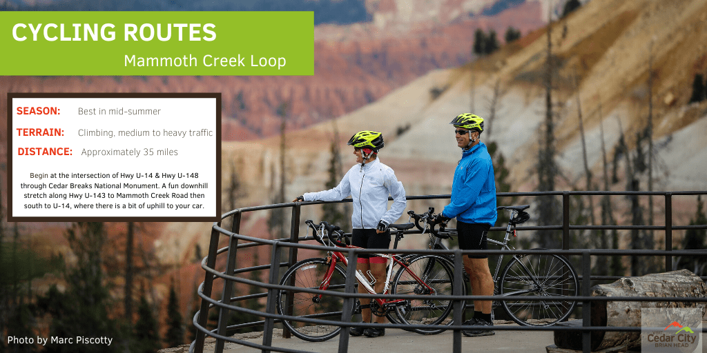
This one is a fun downhill stretch along Highway 143 to Mammoth Creek Road, then south to State Route 14. Along this route, you'll find open meadows, stunning views, and stands of aspens all around. Begin at the intersection of State Route 14 and Highway 148 through Cedar Breaks National Monument. Be sure to stop at all the scenic overlooks! From there you hit the downhill stretch, with a bit of uphill back to your car. This route is best-traveled in mid-summer and is approximately 35 miles round trip with lots of climbing and medium to heavy traffic.
Western Express Cycling Route
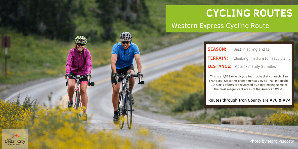
This is a 1,579 mile (2,541 km) bicycle tour route that connects San Francisco, CA on the west coast to the TransAmerica Bicycle Trail in Pueblo, Co. The routes through Iron County are #70 and #74. It provides a shorter mileage option (476 miles less when compared to the TransAmerica Trail) on a central cross-country route but challenged the rider with extreme weather and riding conditions, as well as logistical obstacles. One's efforts are rewarded, however, by experiencing some of the most magnificent areas of the American West. This route is best-traveled in spring and fall as summer traffic on State Route 14 is heavy and there is no shoulder or bike lane – avoid weekends.
