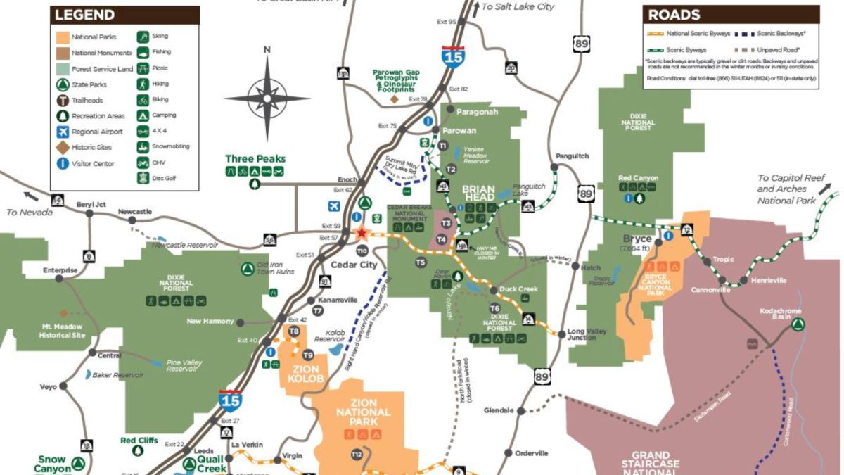
Cedar City, Brian Head, and Parowan are nestled in the heart of scenic southern Utah with national parks and a stunning national monument just a short car ride away.
From looking up at Zion’s Court of the Patriarchs’ tall peaks to Bryce Canyon’s hypnotizing hoodoos and Kolob Canyon’s mesmerizing sandstone, you’ll be able to come for a few days and leave with a lifetime of memories.
Unique wonders waiting to be explored
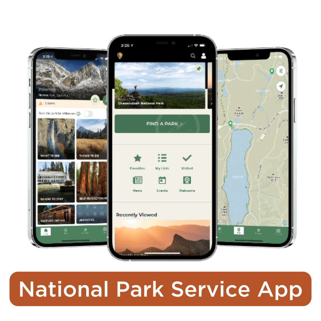
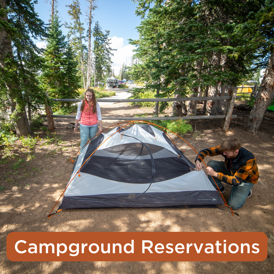
Responsible Recreation Resources
Southern Utah is a haven for outdoor enthusiasts with a variety of terrain, sweeping red rock landscapes, stunning public lands, intricate trail systems, and pristine lakes/reservoirs. It’s important to remember that we have a role to play in preserving the beauty of these natural spaces through Responsible Recreation while visiting.
Make your southern Utah visit as responsible as it is memorable using the recreation resources included below.