Ride Southern Utah:
Road Cycling in Cedar City
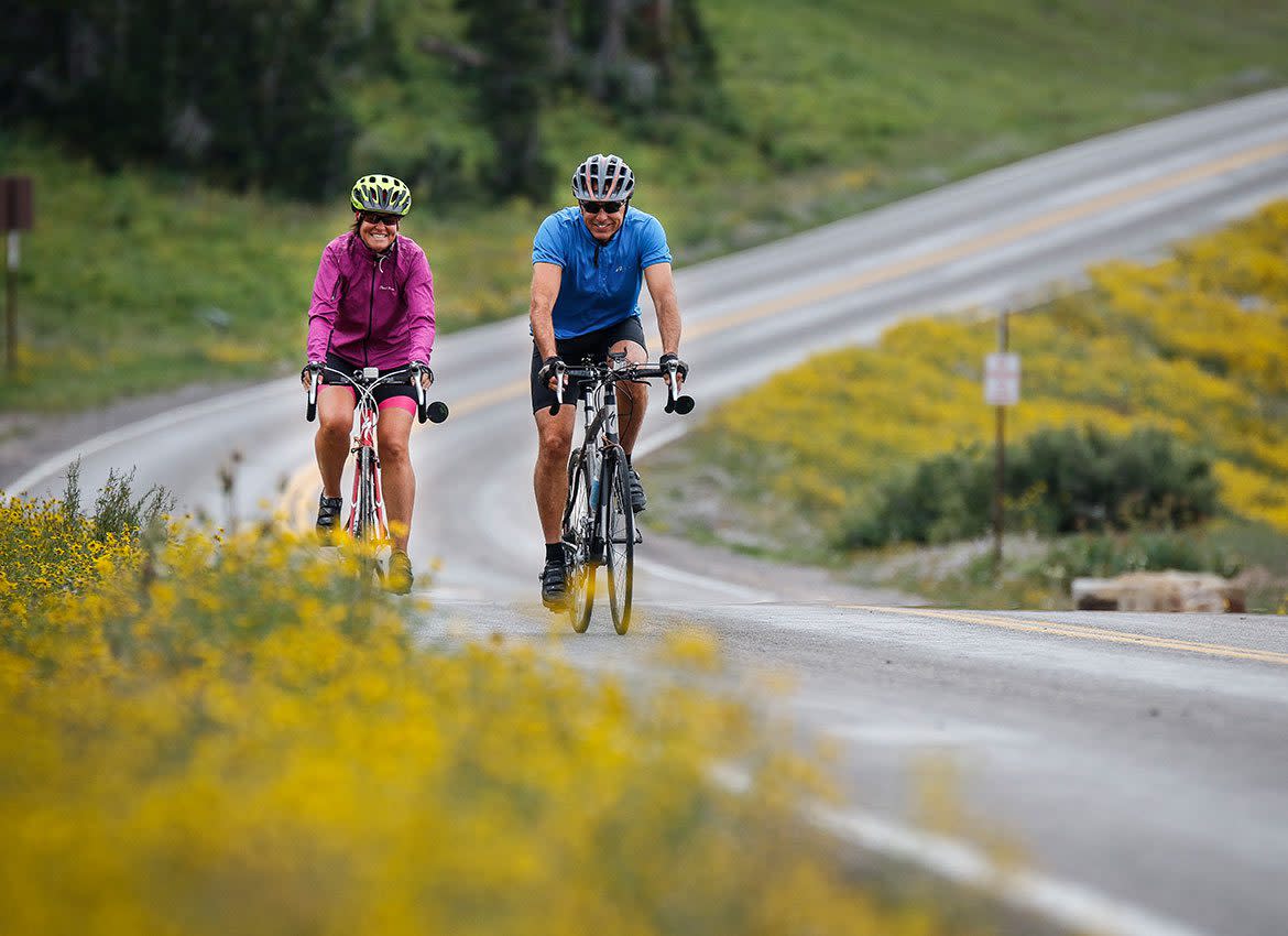
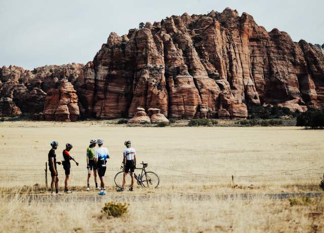
Cedar City is enthusiastic about the world of cycling, being an official host for the Tour of Utah, “America’s Toughest Stage Race” and a major point on the Western Express Bicycle Route, which connects San Francisco, California to Pueblo, Colorado. Cycling in Cedar City not only gives riders the chance to follow in the track of the Tour of Utah, but also scenic, easy rides.
Whether you are in the high mountains or the valley below, be sure you know the Utah Cycling Laws all about road respect by visiting www.RoadRespect.Utah.gov.
Cedar City has designated several miles of bike lanes inside the city limits along major city roads and their arteries for your safety and enjoyment. There’s also the Canyon Trail, which is a wonderful, short, three-mile route for cyclists to enjoy from Cedar City’s Baseball complex into Cedar Canyon. Trail is shared with pedestrians and skate boarders.
Southern Utah Road Rides
*Courtesy of Craig Egerton & the Color Country Cycling Club

-
Best in spring, summer, and fall. Approximately 50 miles round trip, relatively flat, with medium traffic.
This is an “out and back” ride. Proceed south on Cedar City’s Main Street to the last traffic signal and turn left onto the frontage road Old Hwy 91 and just ride on the frontage road to your heart’s content. If you ride Old Hwy 91 to Kanarraville and back to Cedar, you will have ridden approximately 25 miles. If you want more, there are other options. You can proceed south from Kanarraville (still on the frontage road) to the intersection with I-15 (convenience store) and then come back. If you want even more, you can take either; a) the flatter route to New Harmony and back, (the scenic views of Kolob Canyons on your way back from New Harmony make this worth the trip) or b) proceed south down I-15 to the Kolob Canyons section of Zion National Park. At Kolob there is a great, scenic, five-mile climb, but you will need to pay an entrance fee. To either New Harmony or to Kolob Canyons is about 50 miles out and back.
This is a good ride when you don’t know how much time you have (you can turn around any time) or when the south winds are strong…ride into them and then have them blow you back to Cedar City. This ride is not advised when winds are out of the north. Traffic along the frontage road is generally very courteous toward bike riders.
-
Best in spring, summer and fall. Approximately 50 miles round trip, relatively flat, with medium traffic.
From Cedar City Main St/Hwy U-130 and the Mid Valley Road, ride north on Hwy U-130 to the Parowan Gap turnoff (about 13 miles). Turn right and ride through the Parowan Gap Petroglyphs historic site. You may want to get off the bike seat, stretch, and check out the petroglyphs at Parowan Gap while you’re out there. Stay on this road past the dinosaur footprints and continue into Parowan, where it T’s at Main Street. On Main Street, turn right and follow it past the Maverick Gas Station on the right. Continue south down Old Hwy U-91 to the town of Summit. Ride through Summit, over I-15, and continue south on what is now the I-15 (still Old Hwy 91) frontage road until you get back to Cedar City. This is a relatively flat ride of about 50 miles. You may encounter strong winds, but there is not a lot of climbing.
-
Best in mid-summer. 35 miles, lots of climbing, medium to heavy traffic.
*Hwy U-148 is only open late May through October. Begin at the intersection of Hwy U-14 and Hwy U-148, about 18 miles east of Cedar City. Climb north on Hwy U-148 through Cedar Breaks National Monument — be sure to stop at the visitor center and take in some of the overlooks. At the junction of Hwy U-148 and Hwy U-143, turn right. This is a fun downhill stretch, but you will want to watch for signs to Mammoth Creek. The Mammoth Creek Road will be the first paved road that turns to the right (south). Take the Mammoth Creek Road south to Hwy U-14. Turn right on Hwy U-14 and climb back up to where the car is parked. This ride is about 35 miles long and involves A LOT of climbing.
Make sure you are in good physical condition. Elevations are 8,000 to 10,000 feet above sea level and altitude can be a problem. Also, bring clothing that will allow you to adapt to sudden changes in weather (rain, drops in temperature, etc.) that can happen in the mountains in the summertime.
-
Best in fall and spring. Approximately 27 miles, medium to heavy traffic, narrow shoulder.
Drive on I-15 to the Toquerville Exit #27 at Anderson Junction. There is plenty of parking on the east side of the freeway. This is a loop ride that is best done in a clockwise direction. Ride along Hwy 17 through Toquerville, LaVerkin and Hurricane. Travel west out of Hurricane on Hwy U-9 to the Quail Creek Reservoir turnoff. Turn north and climb towards Quail Creek Reservoir until you come to the I-15 frontage road. Follow it north through Leeds and back to where the car is parked.
Cautions include high winds. Hwy 17 between Toquerville and LaVerkin has a fair amount of development traffic and a narrow shoulder; the shoulder of Hwy U-9 can be pretty dirty, so watch for flats. There is a substantial (not huge) amount of climbing on this route. The loop is about 27 miles long. An option to this ride is an out and back to Zion National Park. To take this option, at LaVerkin, turn east on Hwy U-9 and follow the signs to Zion. This is an out and back of about 20 miles.
-
Best in fall and spring.
Start in the town of Ivins at the fire station and meander through the Keyenta subdivision until you get onto Old Highway U-91. Head west on Hwy U-91 to the Gunlock Reservoir turnoff. Take it and climb north past Gunlock Reservoir, through the town of Gunlock and into Veyo. There is a little general store in Veyo to rest up and replenish food and water. From Veyo, turn south down Hwy U-18 to the Snow Canyon State Park turnoff. There may be a small admission fee to ride back through the state park. When you exit Snow Canyon State Park, continue south until you come to a T intersection. Turn right at the T and follow it due west back to the fire station. There is a substantial amount of climbing on the first half of this ride with a similar amount of fun downhill on the return trip.
-
Contact
Cedar City
Visitor Center
581 N. Main
Cedar City, UT 84721
Phone
(435) 586-5124
Hours
Mon-Fri: 8:30 a.m. – 5:00 p.m.
Saturday: 9:00 a.m. – 5:00 p.m.
Sunday: 9:00 a.m. – 5:00 p.m.

