Cedar Breaks National Monument
Home to curious wildlife and Bristlecone pines that have been hanging around since the last millennium, time seems to stand still at Cedar Breaks and that’s not a bad thing.
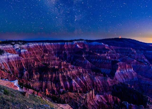
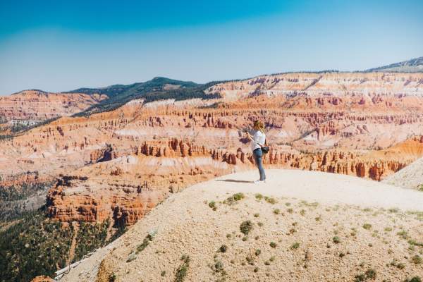
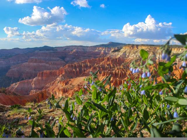
The spectacular colors of Cedar Breaks National Monument are formed by an abundance of mineral deposits, making it breathtaking to behold. The early Paiute people called Cedar Breaks National Monument the “Circle of Painted Cliffs” referring to the multicolored stone ridges of this naturally carved amphitheater.
Things to Know:
- The entrance fee at Cedar Breaks is $15 per person (ages 16 & older) and is good for 7 days.
- National Park passes including the Annual, Senior, and Veteran pass are all honored at Cedar Breaks National Monument.
- Learn about a few upcoming changes to entrance fees and passes for International Visitors and motorcycles that begin on January 1, 2026.
- Hwy 148 through Cedar Breaks is closed to automobiles in the winter and is generally open to vehicle traffic from late May to mid-November.
- Cedar Breaks is 10,000 feet in elevation, so be prepared for cooler weather and the altitude change.
- Camping is available at the Point Supreme Campground from mid-June to late September.
- All sites must be reserved through recreation.gov
Hiking Trails
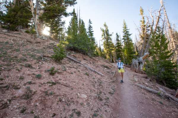
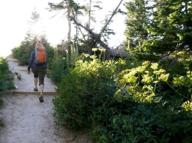
Cedar Breaks offers hiking options for all skill levels, each with a different highlight and unique thing to find along the way. From the paved all-access Sunset Trail lined with wildflowers to the winding South Rim Trail and ancient Bristlecone pines, there’s a great fit for your visit.
Find all trails and more information below:
A picturesque walking trail, located in Cedar Breaks National Monument, leads to a surreal alpine pond. Perfect in the summer to view wildlife and wildflowers. Early in the season this trail may have drifts of snow or be muddy. This loop trail forms a figure-eight through forest…
The South Rim Trail offers spectacular views in all directions. The Spectra Point Viewpoint is located at the one-mile mark, the Ramparts Viewpoint is located at the two-mile mark, and The Bartzen Viewpoint is located at the 2.5-mile mark. The trail begins at 10,500ft and follows…
This accessible paved trail runs between the Point Supreme Overlook and Sunset View Overlook. The park picnic area is located at the halfway point of this trail near the campground. Built to offer all ages and abilities the opportunity to enjoy a walk in the woods and avoid steep…
International Dark Sky Park
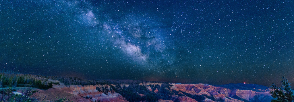
The night skies at Cedar Breaks National Monument are awe-inspiring and available year-round. Throughout the year rangers at Cedar Breaks offered guided “Star Parties” to share the beautiful sights and constellations visible from the monument with guests. In winter star parties are held at the North Overlook while in summer, they are held at the Point Supreme Overlook near the Visitor Contact Station.
What to Know Before You Go:
- Bundle Up: At 10,000 feet in elevation it gets cold out there at night, even in summer!
- Ask Questions: Catch one of the guided Star Parties to get a chance to look through the telescopes and get some insight and tips from the monument rangers. Find the schedule for Star Parties using the link included here.
- Be Inspired: The night sky has been an inspiration for myth, art, literature, discovery, religion, and more. Find your own way to draw inspiration from the views.
- Learn more about what it means to be an International Dark Sky Park here
- Find a Star Party during your visit at the events calendar here.
Scenic Drive & Overlooks
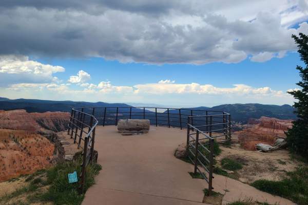
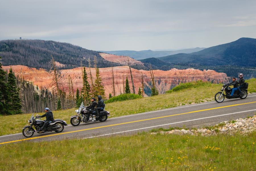
Hwy 148 through Cedar Breaks National Monument is a 6-mile drive that connects the National Scenic Byway of Hwy 143 to Hwy 14. This connection through Hwy 148 creates a great opportunity for a scenic drive loop from Cedar City to Cedar Breaks, Brian Head to Parowan, and back to Cedar City. Along this scenic drive, there are several scenic overlooks to stop at with a different view of the amphitheater at each one.
Hwy 148 through Cedar Breaks is closed to automobiles in the winter and is generally open to vehicle traffic from late May to mid-November.
The scenic overlooks in the Monument are (from south to north): Spectra Point Overlook, Point Supreme Overlook, Sunset Overlook, Chessman Overlook and the North Overlook. The sunset views at the aptly named Sunset Overlook are incredible. The North Overlook is the hub for winter activities and guided tours.
Wildflowers & Fall Colors
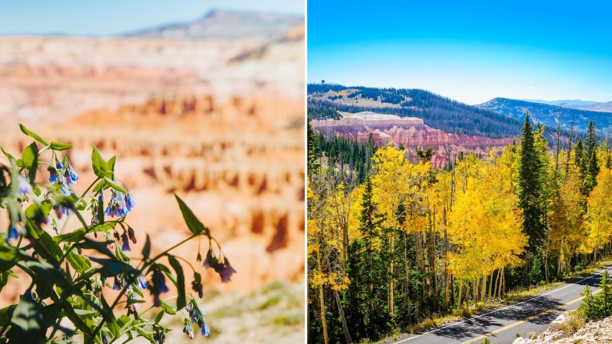
In July and August, the meadows surrounding Cedar Breaks are full of wildflowers. Take a camera and wear good, sturdy hiking shoes to discover the beauty of the alpine flowers (be sure to stay on designated trails). A wildflower checklist can be obtained at the visitor center and there are guided walks and talks provided by park service personal during wildflower season as well.
Be sure to stay on designated trails and overlooks during the wildflower and fall color season to avoid damage to the meadows.
In late September, the fall colors surrounding Cedar Breaks really start to shine with a wide range of vibrant oranges, reds, and yellows. USA Today has rated the Cedar Breaks area as one of their “Top 5 Unique Places to See Fall Colors.”
Winter in Cedar Breaks
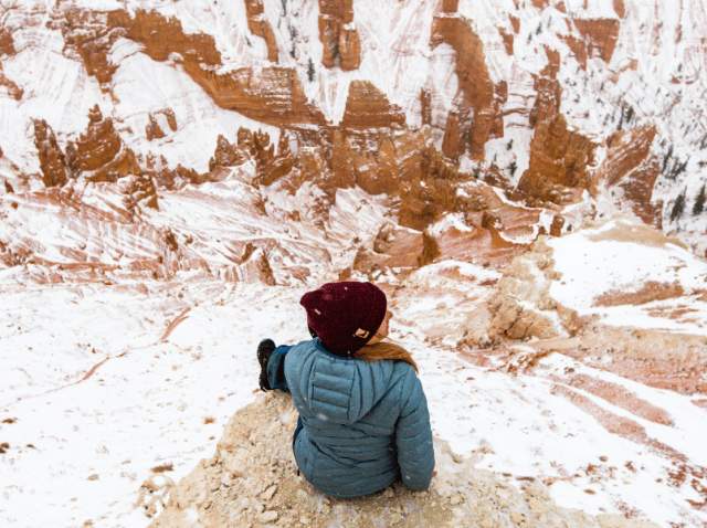
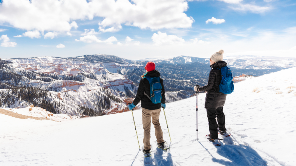
In winter (November - May), scenic Hwy 148 through the monument is closed. Paving the way for a winter adventure in this beautiful natural space. In winter Cedar Breaks is open to snowshoe hiking, snowmobiles, and cross-country skiing. Cedar Breaks National Monument staff offer weekly guided snowshoe hikes on the weekends, as well as guided dark sky tours.
Additional tours and rentals are available in the nearby towns of Brian Head and Cedar City.
Contact Cedar Breaks National Monument to Learn More
Cedar Breaks National Monument
(435) 986-7120 | cedarbreaksinfo@nps.gov
www.nps.gov/cebr
Explore More
Ready to explore Cedar Breaks National Monument? Here are a few of our favorite highlights!
